
Airspace intelligence
Heimdall
Clarity above critical infrastructure.
A sensor-agnostic software platform being developed to bring detection, classification, and incident evidence into one airspace picture.
Software prototype. Live field validation ahead.

Inside the prototype.
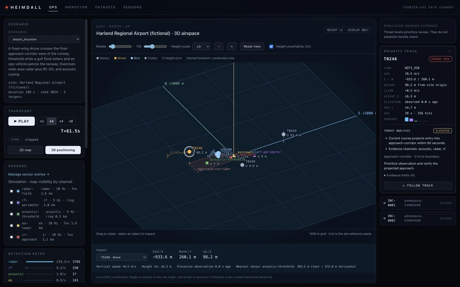
Actual screens from Heimdall, running a simulated airport scenario. These are software captures, not live sensor feeds or field results.
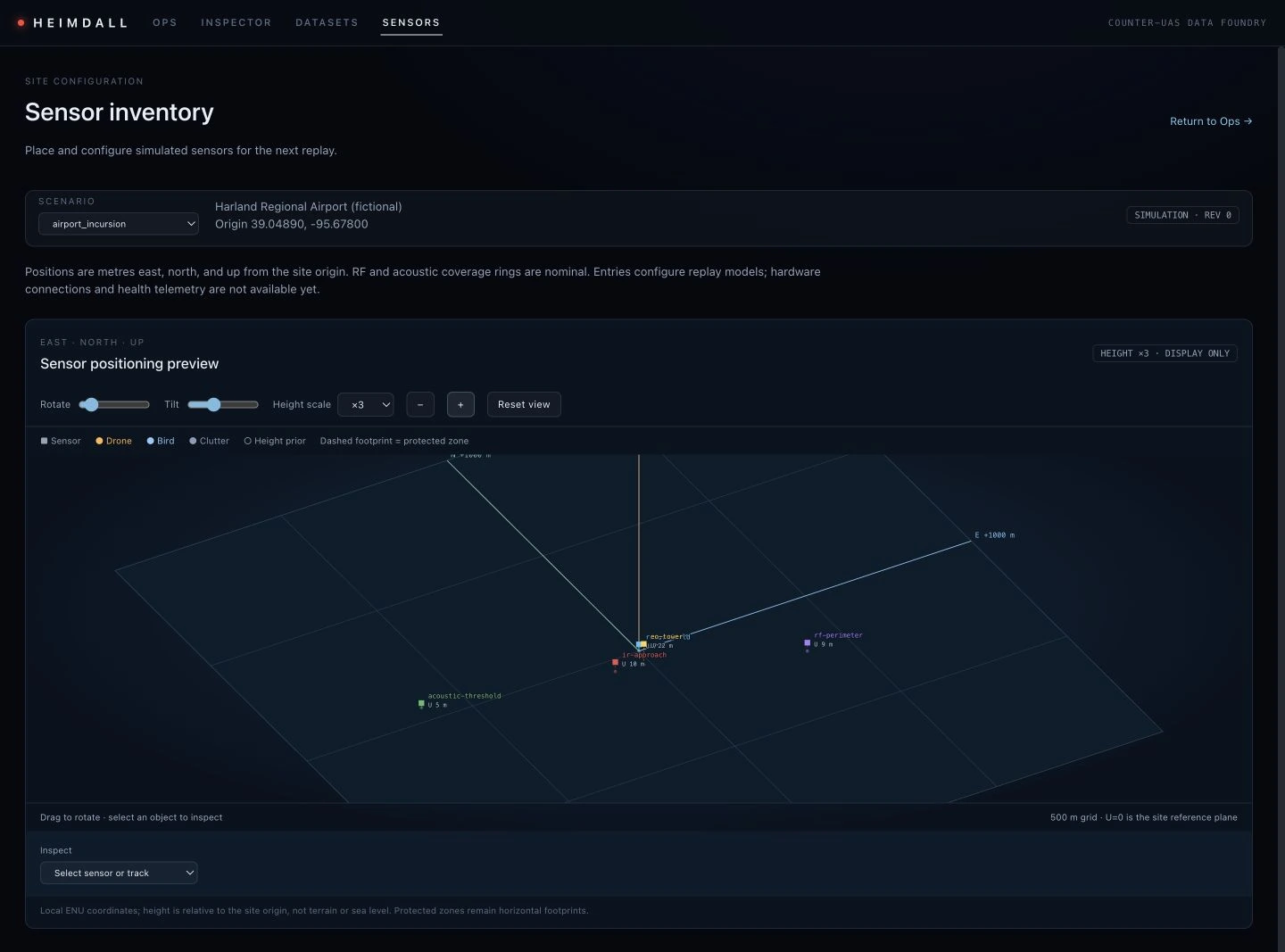
Start with the site.
Place sensors relative to a shared site origin and inspect their positions in three dimensions. The prototype supports radar, radio-frequency, acoustic, optical, and infrared sensor models.
Replay scenarios bring those observations into tracks with position, height, and uncertainty. Operators can inspect the developing air picture against protected zones.
Sensor entries currently configure simulations. Hardware connections and live sensor health telemetry are not yet available.
Different sensors.
A shared air picture.
Radar sees one part of the story. Radio-frequency, acoustic, and optical sensors see others. Heimdall is designed to bring them together, so an operator can follow a track instead of reconciling separate screens.
Built for the airspace around ports, airports, energy facilities, and other critical infrastructure.
Discuss HeimdallArchitecture overview. Not a live system display.
Software prototype
Simulation-tested. Live sensor integration and field validation are ahead.Connect the sensors you already use
A sensor-agnostic adapter layer is designed to accept radar, radio-frequency, acoustic, and EO / IR observations without locking operators to one sensor manufacturer.
Keep tracks and alerts in context
Multi-sensor fusion brings observations into a unified track, with classification and geofence alerts designed to help distinguish drones, birds, and clutter.
Reconstruct what happened
Incident timelines, track history, and sensor provenance are designed to support an operator’s review and exportable evidence reports. Heimdall is detection-only: no jamming, spoofing, or engagement.
Also from Veydris